Upskilling Academy
Trusted by 3 million learners 24/7 online training Money back guarantee Fully accredited courses
Level 3 Certificate in Land Surveying Thumbnail Lifetime Access
Sale

Level 3 Certificate in Land Surveying

Land Surveying Overview Land Surveying is a foundational discipline bridging the gap between geography, engineering, architecture, and environmental…

Best Seller Limited Time Offer
Last Updated 19 Oct 2026 352 Enrolled English Flexible Schedule

Access to 1500+ Courses with free CPD Certificates for Only £59 Get Now

What you will learn

  • - Gain practical skills in using modern surveying equipment and software
  • - Understand essential concepts in land measurement and mapping
  • - Improve your job prospects in construction, engineering, and real estate industries
  • - Learn to interpret and create accurate land survey maps and legal descriptions
  • - Enhance your ability to solve real-world land boundary and topography problems
  • - Boost your confidence in fieldwork through hands-on projects and exercises
  • - Discover the legal and ethical responsibilities of professional land surveyors

Description

Land Surveying

Overview

Land Surveying is a foundational discipline bridging the gap between geography, engineering, architecture, and environmental science. This comprehensive course delves into the art and science of determining terrestrial or three-dimensional positions of points and the distances and angles between them. By blending theoretical knowledge with hands-on techniques, students will acquire the expertise needed to measure, map, and analyze the physical features of the earth’s surface. Whether you’re pursuing a career in construction, urban planning, or geospatial sciences, this course equips you with the technical skills and critical thinking abilities essential for modern surveyors.

Description

This Land Surveying course covers fundamental concepts and practical applications central to the surveying profession. Beginning with an introduction to the history and evolution of land surveying, students will explore the core principles underlying field measurements, mapping, and data analysis. Modular lessons systematically cover the range of professional practices, from basic tape, chain, and compass surveying to advanced digital surveying technologies like total stations, GPS, GIS, and photogrammetry.

Key topics include:

  • Understanding geodetic and plane surveying systems
  • Methods for measuring distances, angles, and elevations
  • Using modern surveying instruments and technologies
  • Interpretation of survey data and production of maps and plans
  • Legal aspects of land boundaries and property delineation
  • Principles of error analysis and data accuracy
  • Applications in construction, land development, and environmental monitoring

Practical components of the course give students the opportunity to gain hands-on experience. Field exercises simulate real-world scenarios, allowing learners to conduct surveys, analyze results, and create detailed maps and site plans. Theoretical instruction is reinforced by interactive workshops, group projects, and case studies featuring both urban and rural environments.

By the end of the course, students will have developed a robust understanding of surveying techniques, legal requirements, and the latest technological advancements in geospatial data collection. Skills in data interpretation, teamwork, and project management are also emphasized to ensure graduates are ready for the dynamic demands of the surveying industry.

Career Path

Completion of the Land Surveying course opens a multitude of professional avenues within both the public and private sectors. Graduates can anticipate diverse roles in fields such as:

  • Land Surveyor: Conducting site surveys for property, construction, and development projects
  • Civil Engineering Surveyor: Providing vital data for infrastructure and transportation projects
  • Geospatial Data Technician: Managing spatial data for environmental management, urban planning, and resource exploration
  • Construction Surveyor: Ensuring buildings, roads, pipelines, and bridges are constructed according to the design plans
  • Cadastral Surveyor: Specializing in legal land boundary delineation and subdivision planning
  • GIS Specialist: Working with Geographic Information Systems to analyze and visualize spatial data
  • Remote Sensing Analyst: Interpreting aerial and satellite imagery for land use planning and environmental assessment

Land surveyors and related professionals are in demand globally. Opportunities exist in government agencies, private surveying firms, construction companies, real estate development, environmental consultancies, and technology companies specializing in mapping and navigation. With experience and further study, graduates can pursue senior surveying roles, project management, or specialize in areas such as hydrographic, mining, or aerial surveying.

Who Is This Course For?

This Land Surveying course is designed for a broad audience, welcoming both novices and those with some technical background who wish to deepen or formalize their knowledge. It is ideally suited for:

  • High school graduates or college students considering a career in surveying, civil engineering, or geospatial sciences
  • Technicians and professionals in civil engineering, construction, architecture, or environmental science seeking to expand their competencies
  • Real estate and property development professionals requiring a foundation in survey methods and legal aspects of land management
  • Government workers involved in planning, zoning, or infrastructure maintenance
  • Anyone with a keen interest in maps, geography, and technology-driven exploration of the physical world

No prior experience in surveying is required, though an aptitude for mathematics, attention to detail, and an interest in outdoor fieldwork are advantageous.

Requirements

To ensure an engaging and productive learning experience, students are expected to meet the following requirements:

  • Educational Prerequisites: A high school diploma or equivalent is recommended. Basic knowledge of mathematics (especially geometry and trigonometry) will be beneficial, though introductory modules cover essential math concepts related to surveying.
  • Technical Skills: Familiarity with computers and common office software (word processing, spreadsheets) is helpful. Prior experience with CAD, GIS, or mapping software is advantageous but not mandatory.
  • Physical Readiness: Some course components involve outdoor fieldwork, which may require walking, standing for extended periods, and carrying lightweight equipment. Appropriate clothing and footwear for field activities are advised.
  • Equipment: Access to basic surveying instruments (such as tape measures, compasses, or total stations) and/or simulation software may be required. The program will provide specific equipment lists or alternatives for remote learners.
  • Internet Access: For online modules, a reliable internet connection is essential for accessing course materials, submitting assignments, and participating in discussions and collaborative projects.

With a blend of classroom instruction, practical fieldwork, and digital learning, this course provides the tools, techniques, and confidence to embark on a rewarding career in the ever-evolving field of land surveying.

Course Curriculum

Course Content

Module 1 Introduction to Land Surveying

  • Lesson 1 Introduction to Land Surveying

Module 2 Surveying Equipment and Tools

Module 3 Measurement Techniques

Module 4 Topographic Surveys

Module 5 Boundary Surveys

Module 6 Construction Surveys

Module 7 Land Survey Data Management

Module 8 Advanced Surveying Techniques

Who should take the course

  • - Students studying civil engineering or geography
  • - Professionals seeking a career in land surveying
  • - Construction workers wanting to improve surveying skills
  • - Real estate developers needing basic surveying knowledge
  • - Local government employees involved in land management
  • - Property owners interested in understanding land boundaries
  • - Architects who want a better grasp of site planning

Certificate for Success at Every Step

  • No expiry date. You can keep and use the certificate forever.
  • Recognised across various UK industries.
  • Increases your chances of employability.
  • Boosts your professional credibility.
  • Shows you're up to date with industry knowledge.
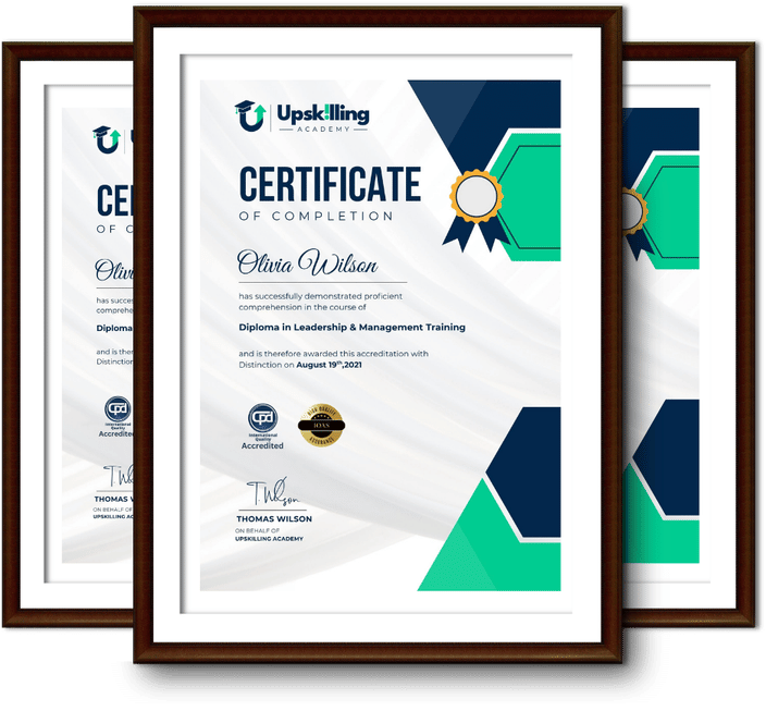
Framed Upskilling Academy certificates of completion

Course Reviews

Christine Ferguson

My experience with you was fantastic and easy to navigate. I'm looking forward to taking the course.
Jesse Harding

Provided highly informative and helpful responses, with quick and efficient replies.

Gary Schwartz

The course selection is broad, engaging, easy to follow, and offers a good challenge.

Bailey Burrows

Excellent course with user-friendly website navigation, making it easy to follow. I'm really enjoying the experience.

Benjamin Moreno

Great course with valuable information. Easy to follow, and I appreciated the flexibility to work at my own pace.

Quality Accreditation

  • incensu Registered Education Supplier
  • Association of Healthcare Trainers member
  • The CPD Group approved provider #790985
  • Disability Confident Committed

FAQ for Level 3 Certificate in Land Surveying

How do I access my course?

Once you complete your purchase, you’ll receive access to your course through your Upskilling Academy account. You can log in and access your learning materials online at any time.

How long do I have access to the course?

Your access period depends on the course and the package you purchase. Please check the course details or your order information for the applicable access period.

Can I study at my own pace?

Yes. Upskilling Academy courses are designed to provide flexible online learning, allowing you to study at a pace that suits your schedule.

Will I receive a certificate?

Certificate availability varies by course. Where a certificate is included, you’ll receive information about the requirements and how to obtain it within the course or upon completion.

Are the courses suitable for beginners?

Many courses are suitable for beginners, while others may assume some previous knowledge. Please review the individual course description for information about the recommended level and prerequisites.