Upskilling Academy
Trusted by 3 million learners 24/7 online training Money back guarantee Fully accredited courses
Level 3 Certificate in GIS Thumbnail Lifetime Access
Sale

Level 3 Certificate in GIS

GIS (Geographic Information Systems) Overview The GIS (Geographic Information Systems) course provides an immersive introduction to the world…

Best Seller Limited Time Offer
Last Updated 19 Oct 2026 352 Enrolled English Flexible Schedule

Access to 1500+ Courses with free CPD Certificates for Only £59 Get Now

What you will learn

  • - Gain hands-on experience with leading GIS software and tools
  • - Learn how to collect, manage, and analyze spatial data effectively
  • - Enhance your problem-solving skills through real-world mapping projects
  • - Improve your job prospects in diverse sectors such as urban planning, environmental management, and public health
  • - Understand the fundamentals of spatial analysis and cartography
  • - Develop the ability to visualize and communicate complex geographic data
  • - Build a foundation for advanced study or certification in GIS and related fields

Description

GIS (Geographic Information Systems)

Overview

The GIS (Geographic Information Systems) course provides an immersive introduction to the world of spatial analysis, geospatial data management, and digital cartography. As the demand for geographic literacy and location-based decision-making grows, GIS stands at the forefront of innovative technologies transforming numerous fields, from business and urban planning to disaster management and environmental conservation. This course blends theoretical knowledge with hands-on application using modern GIS tools, ensuring learners develop both a foundational understanding and practical skills to tackle real-world spatial challenges. Whether your goal is academic growth, career advancement, or personal development, this comprehensive program delivers the expertise necessary to harness the power of geographic information.

Description

This course begins by covering the essential principles of GIS, including the nature of spatial data, geographical coordinates, data types, and the importance of geospatial data integrity. You will explore the underlying concepts that govern GIS, such as layers, projections, and coordinate systems, as well as the intricacies of managing raster and vector datasets. Emphasis is placed on learning industry-standard GIS software, with step-by-step tutorials guiding you through data collection, editing, analysis, and visualization.

As the course progresses, students will be introduced to advanced analytical techniques such as spatial interpolation, network analysis, geostatistics, and remote sensing integration. Real-world examples and project-based assignments reinforce theoretical knowledge, encouraging students to explore applications like urban development, ecological modeling, transportation planning, and public health mapping.

Key modules include:

  • Introduction to Geographic Information Science
  • Data Acquisition and Management
  • Cartographic Principles and Map Design
  • Spatial Analysis Methods
  • Remote Sensing and Image Processing
  • Applications of GIS in Various Industries
  • Ethics, Data Quality, and Legal Aspects of GIS

The course culminates in a capstone project, where students develop and present a comprehensive GIS analysis addressing a real-world problem, demonstrating proficiency in data sourcing, spatial analysis, cartographic presentation, and digital storytelling.

Career Path

Completion of the GIS course opens a multitude of professional opportunities across diverse sectors. GIS is a rapidly expanding field, playing a crucial role in sectors such as:

  • Urban and Regional Planning: Design smarter cities, optimize infrastructure, and inform sustainable growth strategies.
  • Environmental Science: Monitor ecological systems, track climate change, and manage natural resources effectively with GIS-driven insights.
  • Public Health: Analyze disease spread, health resource allocation, and spatial patterns of healthcare delivery.
  • Transportation and Logistics: Plan efficient routes, manage networks, and optimize supply chains using spatial data.
  • Emergency Response and Disaster Management: Map hazards, prepare emergency plans, and coordinate relief operations with geospatial intelligence.
  • Business and Market Analysis: Identify customer demographics, select retail locations, and analyze competitiveness geographically.
  • Government and Defense: Perform land management, census mapping, strategic planning, and geospatial intelligence gathering.

Graduates may pursue careers as GIS analysts, cartographers, remote sensing specialists, spatial data scientists, urban planners, environmental consultants, geospatial application developers, and more. The GIS skillset is versatile and sought-after, providing an edge in both public and private sector employment globally.

Who Is This Course For?

This GIS course is designed for a broad range of learners interested in understanding and applying spatial technologies:

  • Students and recent graduates in geography, environmental science, urban planning, engineering, or related disciplines seeking foundational and practical skills in GIS.
  • Professionals from government agencies, NGOs, consultancies, or private industries who want to expand their competencies in spatial data analysis and mapping.
  • Researchers and academics who wish to incorporate spatial information into their investigative work, from ecology and public health to economics and political science.
  • Entrepreneurs or business analysts exploring location-based analytics for market research, site selection, or customer segmentation.
  • Anyone curious about geographic patterns, cartography, or how location data impacts our everyday world, regardless of prior experience.

No prior experience with GIS is required; the course is structured to accommodate complete beginners while also offering deeper exploration for those with some background in spatial analysis.

Requirements

  • Computer Literacy: Participants should have a basic understanding of personal computer operation, file management, and web navigation.
  • Access to a Personal Computer: A laptop or desktop running Windows, MacOS, or Linux capable of running standard GIS software (such as QGIS or ArcGIS Pro).
  • Internet Access: Reliable internet connection for accessing online resources, video tutorials, collaboration platforms, and receiving data files.
  • Software Installation: Instructions will be provided for downloading and installing both open-source (QGIS) and, if applicable, trial versions of commercial GIS software.
  • Analytical Skills: While advanced mathematics is not required, an aptitude for logical thinking, pattern recognition, and problem-solving will be beneficial.
  • English Proficiency: All instructional materials and software tools are provided in English; reading comprehension and basic communication skills are necessary for success.

All additional course materials, datasets, and guides will be provided at no extra cost. Optional supplementary readings and project datasets may be recommended for those wishing to deepen their understanding or pursue advanced topics.

Course Curriculum

Course Content

Module 1_ Introduction to GIS

  • Lesson 1_ Introduction to GIS

Module 2_ Spatial Data and Mapping Fundamentals

Module 3_ Data Collection and Management

Module 4_ Spatial Analysis Techniques

Module 5_ GIS and Remote Sensing Integration

Module 6_ GIS in Urban and Regional Planning

Module 7_ Environmental Applications of GIS

Module 8_ GIS in Public Health and Emergency Response

Module 9_ Legal, Ethical, and Policy Issues in GIS

Module 10_ Practical GIS Projects and Future Trends

Who should take the course

  • - College students studying geography, urban planning, or environmental science
  • - Professionals working in land management or surveying
  • - City planners and local government staff
  • - Environmental consultants and researchers
  • - Teachers and educators interested in spatial analysis
  • - Data analysts wanting to expand into geographic data
  • - NGOs and nonprofits involved in mapping and community projects

Certificate for Success at Every Step

  • No expiry date. You can keep and use the certificate forever.
  • Recognised across various UK industries.
  • Increases your chances of employability.
  • Boosts your professional credibility.
  • Shows you're up to date with industry knowledge.
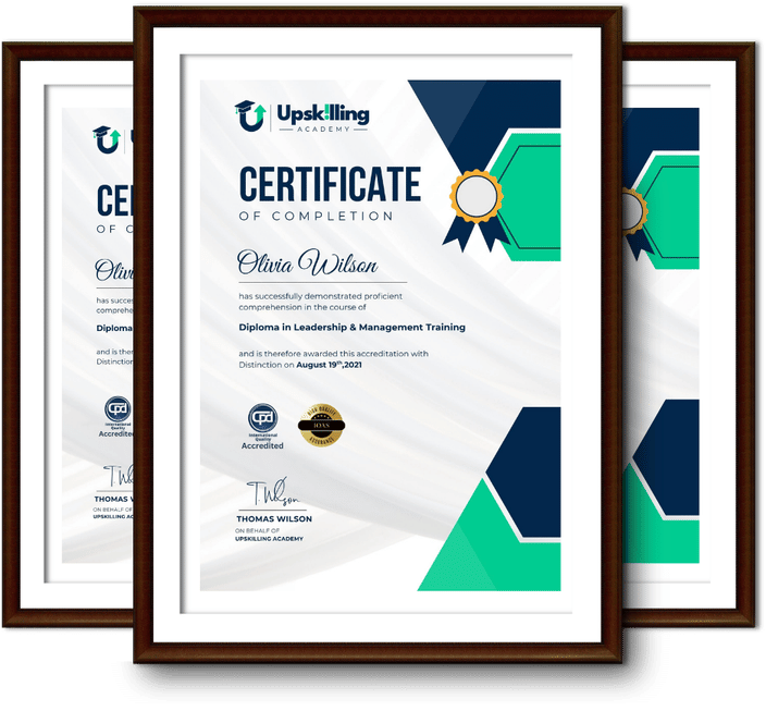
Framed Upskilling Academy certificates of completion

Course Reviews

Christine Ferguson

My experience with you was fantastic and easy to navigate. I'm looking forward to taking the course.

Jesse Harding

Provided highly informative and helpful responses, with quick and efficient replies.

Gary Schwartz

The course selection is broad, engaging, easy to follow, and offers a good challenge.

Bailey Burrows

Excellent course with user-friendly website navigation, making it easy to follow. I'm really enjoying the experience.

Benjamin Moreno

Great course with valuable information. Easy to follow, and I appreciated the flexibility to work at my own pace.

Quality Accreditation

  • incensu Registered Education Supplier
  • Association of Healthcare Trainers member
  • The CPD Group approved provider #790985
  • Disability Confident Committed

FAQ for Level 3 Certificate in GIS

How do I access my course?

Once you complete your purchase, you’ll receive access to your course through your Upskilling Academy account. You can log in and access your learning materials online at any time.

How long do I have access to the course?

Your access period depends on the course and the package you purchase. Please check the course details or your order information for the applicable access period.

Can I study at my own pace?

Yes. Upskilling Academy courses are designed to provide flexible online learning, allowing you to study at a pace that suits your schedule.

Will I receive a certificate?

Certificate availability varies by course. Where a certificate is included, you’ll receive information about the requirements and how to obtain it within the course or upon completion.

Are the courses suitable for beginners?

Many courses are suitable for beginners, while others may assume some previous knowledge. Please review the individual course description for information about the recommended level and prerequisites.